Earthquake Live: Monitoring and Understanding Seismic Activity
Tracking earthquakes in real-time is crucial for understanding seismic activity and mitigating potential damage. Live earthquake data, provided by seismological networks worldwide, allows us to monitor the magnitude, location, and depth of earthquakes as they occur.
Several organizations, including the United States Geological Survey (USGS) and the European-Mediterranean Seismological Centre (EMSC), operate extensive networks of seismometers that detect ground vibrations. These instruments measure the arrival times of seismic waves, allowing scientists to pinpoint the epicenter and hypocenter (focus) of the earthquake. This information is then rapidly processed and disseminated through online platforms and mobile applications.
Live earthquake maps and lists typically display recent events, often filtered by magnitude or geographical region. Clicking on an individual event provides more detailed information, such as the earthquake’s precise coordinates, depth, the number of stations that detected it, and even preliminary assessments of potential shaking intensity based on its magnitude and location. These “shake maps” estimate the level of ground shaking that may have been experienced in different areas, helping to prioritize response efforts.
The speed of data dissemination is vital, especially after a major earthquake. Real-time information allows emergency responders to quickly assess the situation, allocate resources, and initiate search and rescue operations. Furthermore, earthquake early warning systems (EEW), which are being developed and implemented in various regions, rely on the rapid detection and analysis of seismic waves to provide a few seconds to minutes of warning before strong shaking arrives. These precious moments can allow individuals to take protective actions, such as dropping, covering, and holding on.
Beyond immediate response, live earthquake data contributes significantly to scientific research. By analyzing the patterns and characteristics of earthquakes, seismologists can gain a better understanding of plate tectonics, fault behavior, and the mechanisms that trigger earthquakes. This knowledge is essential for improving earthquake forecasting and developing more effective strategies for earthquake-resistant building design and urban planning.
It’s important to remember that earthquake information, particularly immediately after an event, can be preliminary and subject to change as more data becomes available. While live earthquake monitoring provides valuable insights, it should be used in conjunction with official guidance from local authorities and emergency management agencies.
 1600×900 earthquake zones americans cnn from www.cnn.com
  600×600 earthquake map from earth3dmap.com
 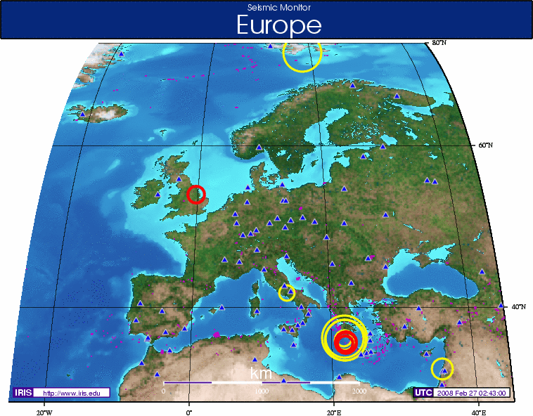 758×592 earthquake rocks england data gcaptain from gcaptain.com
  1422×800 earthquake map android apk from apkpure.com
  523×239 maps mania earthquake tracker from googlemapsmania.blogspot.com
  3000×2101 earthquake archives views world from www.viewsoftheworld.net
  1378×1033 earthquake map earthquake incident map world map from allpicturesenterprise.blogspot.com